• Sign Up
  • Login
  • Lost Password?

Events/Latest News: Apply Today to Sponsor CARILEC's 2025 Events. | CARILEC CE Journal Issue #19 - Nov 2022 | CARILEC CE Journal Issue #20 - Feb 2024 | Submit an Article | See All Our Journals |
CARILEC
  • About Us
    • Who We Are
    • Governance
      • Board of Directors
      • ByLaws
    • Our Team
    • Contact us
  • Services
    • CDAP
    • Training
    • Lineworkers Certification
    • MOUs & Partnerships
  • Resources
    • Guidelines and Manuals
    • Publications
      • CE Industry Journal
      • Annual Reports
      • Tariff Surveys
      • White & Position Papers
      • Fact Brochure
    • News
  • Events
    • Upcoming Events
    • Become A Speaker
    • Become a Sponsor
    • Become an Exhibitor
    • Past Events
  • Membership
    • Membership Benefits
    • Meet Our Members
    • Become A Member
    • Pay Membership Dues
  • Energy Communities
    • CAREEP
    • CAREC
    • WIRE Network
  • Careers & Procurement
  • Registration
    • Delegate Registration
  • Event Info
    • Event Details

ABOUT THIS EVENT

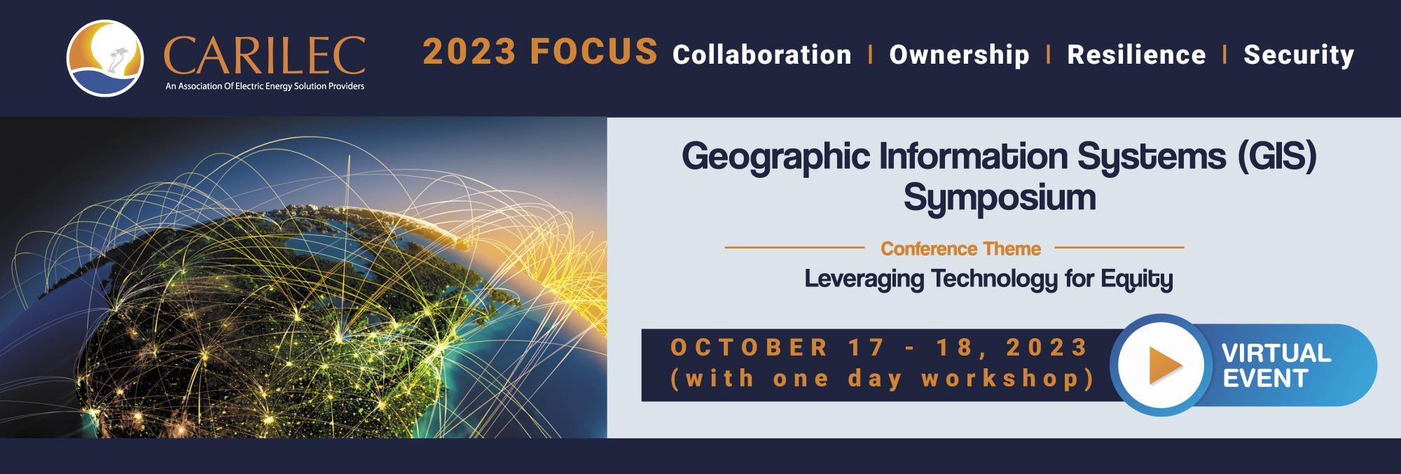
Theme: Leveraging Technology for Equity

Geographic Information Services (GIS) has undergone significant transformation, as applications have emerged that go well beyond the early notion of a digital assistant performing tasks that humans find difficult. The system is continually evolving to support electric utilities in a myriad of ways, such as recognizing technical problems and risks, especially when it comes to power outages.

Other critical GIS applications include having oversight on energy consumption, finding potential threats to the power grid, managing utility asset repairs, and analyzing usage patterns. Advances in technology have brought the promise of GIS, which is no longer confined to the office but has transitioned to the field. Additionally, GIS is no longer the single function tool for locating assets, it’s now a holistic platform which is utilized for understanding and optimizing electric utilities operations. GIS has contributed to greater reliability and efficiency for small island operating utilities, by playing a key role in reducing cost and assisting in capital planning. This makes the technology the technological life support of the utility’s operations, which ultimately helps them provide a more reliable energy service to consumers.

Therefore, we can only anticipate the continuous expansion of its use and continuous evolution in its technology. This symposium will provide opportunities to expand the already large horizon of GIS technology and deepen the understanding of the technology for participants.

GIS AGENDA

  • Tuesday Oct 17 Event Day 1
  • Wednesday Oct 18 Event Day 2
  • Presentations
  • Break Out Session
Emerging Technologies: Digital Twin
: Hopeton Ferguson, VP Spatial Innovision
Deep Learning with Geo-AI
: presenter TBC
Joint presentation : Mobile Mapping
: Everard Johnson and Trimble (TBC)
Better Understanding Through Real Time Data
: (presentation around ArcGIS GeoEvent Server/ArcGIS Velocity) - may be joint, i.e. SIL/ESRI
Networking Session between Utilities and Spatial Team (45 mins)
  • Workshop
Topic #1: Mobile GIS with ArcGIS Workforce

Course Summary:

Unleash the potential of ArcGIS Workforce in our concise "Mobile GIS with ArcGIS Workforce" course. In just three hours, you'll gain practical insights into how this powerful tool can streamline field operations and enhance your organization's productivity. This course is designed for GIS professionals, field managers, and anyone interested in optimizing fieldwork through mobile GIS technology.

Course Highlights:

1. Introduction to ArcGIS Workforce: Discover the core concepts and capabilities of ArcGIS Workforce, a dynamic solution for coordinating and monitoring fieldwork.

2. Setting Up Workforce Projects: Learn how to create and configure Workforce projects to effectively manage field tasks, assignments, and workflows.

3. Assigning and Dispatching Work: Explore the process of assigning tasks to field crews, optimizing routes, and monitoring progress in real-time.

4. Field Data Collection: See how Workforce seamlessly integrates with other mobile GIS apps like Collector for ArcGIS, enabling field data collection and validation.

5. Efficient Field Navigation: Master the art of efficient field navigation using integrated maps and navigation tools to ensure crews reach their destinations promptly.

6. Status Tracking: Understand how to monitor task statuses, collect field updates, and ensure transparent communication between field teams and office staff.

Who Should Attend?

1. GIS professionals and analysts looking to enhance their skills in mobile GIS and field operations management.

2. Field managers and supervisors interested in optimizing workforce efficiency.

3. Anyone involved in field data collection, asset management, and operations planning.

Topic #2: Use of GIS for Staking and Line Designs

Course Summary:

Join us for a focused "Electric Distribution Line Design with ArcGIS Online" course. This course is tailored for professionals in the electric utility sector who want to harness the power of ArcGIS Online to streamline and enhance the design process for distribution lines. Learn how to leverage geospatial technology for efficient, accurate, and cost-effective design solutions.

Learning Outcomes:

1. Introduction to Distribution Line Design: Gain a fundamental understanding of electric distribution line design principles and the role of geospatial technology.

2. ArcGIS Online Overview: Explore the capabilities of ArcGIS Online as a cloud-based GIS platform for designing and managing distribution lines.

3. Data Preparation: Learn how to collect and prepare geospatial data, including utility asset information, terrain data, and environmental factors.

4. Designing Distribution Lines: Discover the step-by-step process of designing distribution lines, including route planning, conductor selection, and voltage drop calculations.

5. Integration with Field Work: Understand how to seamlessly connect your design with field operations using mobile GIS apps and devices.

Who Should Attend?

· Electric utility engineers and planners involved in distribution line design and maintenance.

· GIS professionals seeking to enhance their skills in distribution line design.

· Utility managers and decision-makers looking to improve the efficiency of their distribution operations.

Presenters Bio:

Dave Williams is the GIS Manager at the Jamaica Public Service Co. Ltd and has been at JPS since 2005. He received a B.S. degree in Computer Information Systems from the University of Windsor and an M.B.A. from the University of New Orleans. He has been active in the field of GIS for over a decade with experience in field mapping, project management, data modeling, and system configuration. While at JPS working with various teams, he has applied GIS and Location Analytics to numerous areas across the utility including Outage Management, Reliability, System Losses, and Asset management.

Hopeton Fegurson

Hopeton Fegurson

Hopeton Ferguson is the Vice President of Strategic Solution at Spatial Innovision Limited ( The number one Geospatial Solution Provider in the English-Speaking Caribbean). Hopeton has a BSc. degree in Integrated Planning and Environmental Resources Development, A MSc. in Geographic Information System, a MSc. in Engineering Management and he is a certified Project Manager. He has worked at the Water Resource Authority (Government of Jamaica) as a GIS specialist for approximately 10 years, then at the Jamaica Mining Company (JAMALCO) for 12 years as Mine Services supervisor and Senior Mine Planning Supervisor. His main area of responsibility was project management for surveying, design and construction of haul/parish roads, reclamation and rehabilitation. Hopeton has been working with Spatial Innovision Limited for approximately 6 six as vice president of Geospatial Products and vice president of Strategic Solution. His responsibility extends to over 16 Caribbean countries in setting up strategic geospatial solutions for both government and private sectors including a number of utility companies.

Everard B. Johnson

Everard B. Johnson

Mr. Everard B. Johnson is a graduate of the University of Technology, Jamaica, where he acquired a BSc. In Land Surveying and Geography Information System. He has been with Spatial Innovision Ltd from 2009 to present. He currently holds the position of Geomatics Product Specialist within the department of Geospatial Technologies Business Unit. He has worked on several milestone project such as assisting in the implementation of Guyana Virtual Reference System (VRS) and other Caribbean Countries. He is also a drone pilot and trainer who acquired this qualification from world-class drone manufacturers senseFly at their headquarters in Switzerland. He is also a sales representative for products from brands such as Esri, Trimble, Juniper, Laser Technology, Contex, EMLID, Aplitop and Parrot.

Matthew A. Webster

Matthew A. Webster

Mr. Matthew A. Webster is a PMI certified Project Management Professional and graduate of the Mona School of Business & Management in Jamaica, where he acquired a MBA, specializing in Marketing. He is a practicing leader, having over the past decade, had leadership roles in regional organizations in the Telecommunications, Advertising and now GIS industry. Matthew is currently the Vice President, Geospatial Technologies Business Unit at Spatial Innovision Limited, the Caribbean’s leading geospatial technologies and solutions centre. He is the GIS sector lead for the Environment, Climate Change, Small National Government and Education sectors. Matthew has both led and supported many successful regional projects across the Caribbean, with his latest assignment, the HIT RESET Caribbean programme aimed at supporting resilient coastal settlements in the Caribbean. He is also the co-founder and Chief Marketing Officer at Ngage Events Ja, a software company using social gaming to redefine event networking and audience engagement at events, expos and conferences.

Roshaun Clarke

Roshaun Clarke

Roshaun Clarke is the Deputy Chief Executive Officer at Spatial Innovision. His professional career hails from the entertainment sector, being a founding member of the reggae and dancehall quartet, TOK. Bay-­‐C, as he is professionally known in the music business, and his fellow band members, have enjoyed immense success, hitting the billboard charts, selling platinum albums in Japan, touring the world extensively and being hailed as the ‘world’s greatest reggae boy band’ by the prestigious NY Times. In addition to entertainment, Clarke is no stranger to innovative solutions. In 2013 he was named as the ambassador for the Caribbean One Health Program, where he integrated music and education on his ListenMi News platform to bring awareness around an inter-­‐disciplinary approach to disease prevention and management. In 2020 the global organization Red Cross commissioned Clarke to produce a gobal anti-­‐ discriminatory communication around the then emerging pandemic. The evolution to add GIS to his career path came naturally in 2010 when he joined Spatial Innovision as the Marketing Manager. From there he immersed himself into the ‘ science of where’ and is now a subject matter expert on geospatial technologies. In 2019, Clarke assumed the role of Deputy CEO at Spatial Innovision with focus on National Government. Since then, he has expanded his portfolio to be the Business Development Lead for Statistics, Utility and Health.


When & Where

Virtual Event

Add to Calendar 10/17/2023 08:00 AM

Organizer

CARILEC

  • CARILEC Power
  • https://www.carilec.org
Send Message


About Us

The Caribbean Electric Utility Services Corporation (CARILEC) is an association of electric energy solutions providers and other stakeholders operating in the electricity industry in the Caribbean region, Central and South Americas...

Information

  • Data Privacy
  • Cancellation & Refunds
  • Legal Disclosure

Useful Links

  • Upcoming Events
  • CAREEP (CARILEC Resilincy and Energy Efficiency Project)
  • CDAP (CARILEC Disaster Assitance Programme)
  • Become a Sponsor
  • Careers & Procurement
  • News
  • Board of Directors

Newsletter

SiteLock
Data Privacy | Legal Disclosure Copyright CARILEC 1989- All Rights Reservered. Powered by: Digitalwurl
CARILEC
Manage Cookie Consent
To provide the best experiences, we use technologies like cookies to store and/or access device information. Consenting to these technologies will allow us to process data such as browsing behavior or unique IDs on this site. Not consenting or withdrawing consent, may adversely affect certain features and functions.
Functional Always active
The technical storage or access is strictly necessary for the legitimate purpose of enabling the use of a specific service explicitly requested by the subscriber or user, or for the sole purpose of carrying out the transmission of a communication over an electronic communications network.
Preferences
The technical storage or access is necessary for the legitimate purpose of storing preferences that are not requested by the subscriber or user.
Statistics
The technical storage or access that is used exclusively for statistical purposes. The technical storage or access that is used exclusively for anonymous statistical purposes. Without a subpoena, voluntary compliance on the part of your Internet Service Provider, or additional records from a third party, information stored or retrieved for this purpose alone cannot usually be used to identify you.
Marketing
The technical storage or access is required to create user profiles to send advertising, or to track the user on a website or across several websites for similar marketing purposes.
Manage options Manage services Manage {vendor_count} vendors Read more about these purposes
View preferences
{title} {title} {title}